3D Modeling
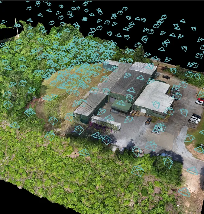
Drones can capture all angles for a full 3D Model
Currently we are using Drone Deploy but also have experience with Pix4D
to produce a stunning and useful 3 Dimensional model of your project

My drones will take hundreds of pictures which will then be stitched together into a geographic two- or three-dimensional model use Drone Deploy

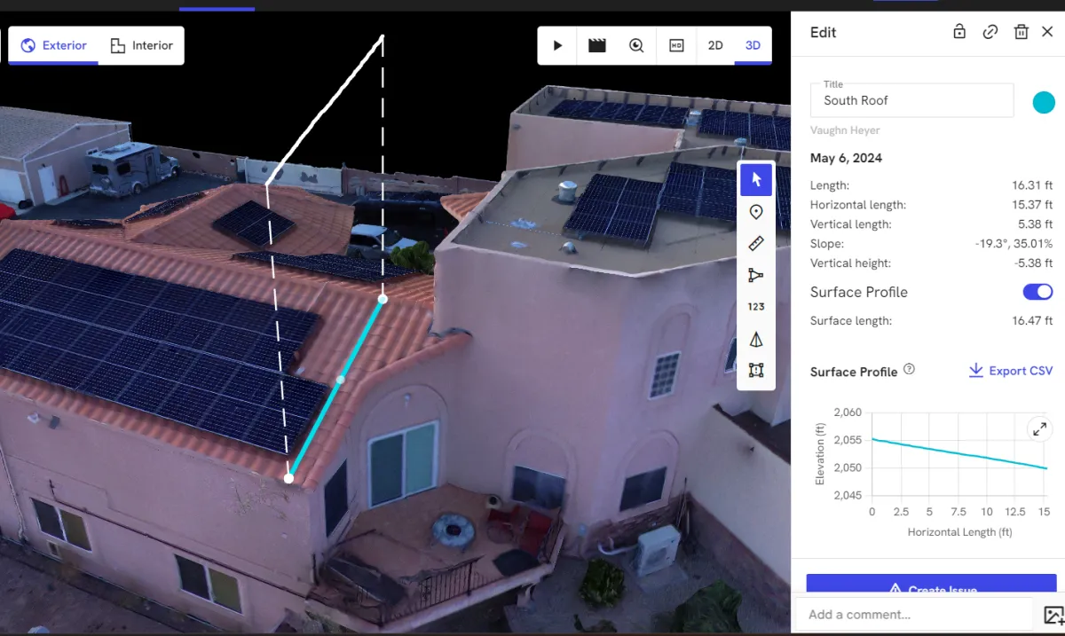
Annotations can be made to the model and it will even give a surface profile or even estimate cut and fill.
With Drone Deploy we can create a video of the 3D Model
Find out Pricing Options
(pricing varies by type and amount of 3D Modeling needed)
